Leaving Uganda behind us, we crossed the border into Kenya, en route to one of the highlights of Gerrit’s and our trip: Lake Turkana, the Jade Sea.
Our first stop along  the way was at a wonderful place just outside Eldoret town, called Naiberi. Situated at almost 2000m, the altitude adds to the beautiful surroundings of riverine forest. We spent two nights here, enjoying the spectacular birding, the great food and the lush tranquility surrounding us.
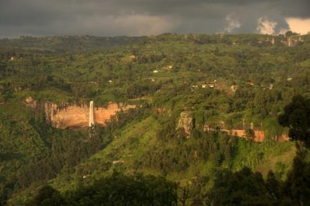
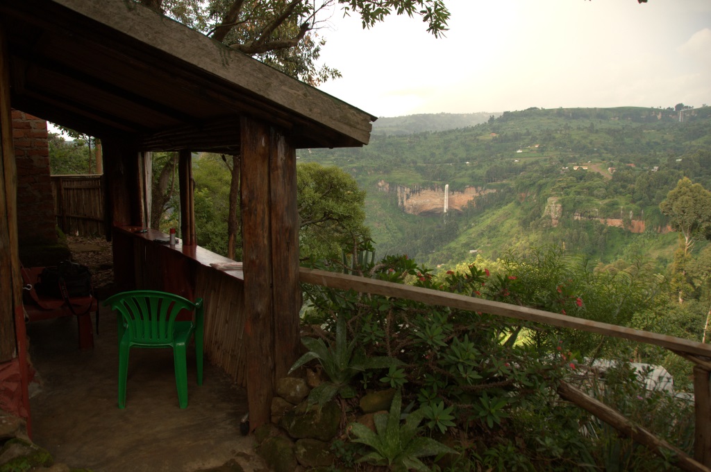
The next day we left the good roads far behind  us and the further we traveled, the worse the corrugation and dust got. We did have a slight reprieve driving along the edge of the Kerio Rift Valley though. At the Kenyan athlete’s high altitude training centre, the (thankfully!) tarred road descended a thousand meters down the escarpment.
The slalom road with the hairpin bends and overfilled trucks and buses presented a new problem to us. Our brand new brake pads were overheating. Having stopped at a spectacular view point, we were quickly forced to jump back into our cars and keep going, as our smoking brakes could only be cooled with air flowing over them. We spent the rest of the drive down the escarpment trying not to use our brakes… Hair raising to say the least. Very relieved, we reached the dry scrubland and savannah of the Kerio Rift, before ascending out again on a thankfully less steep escarpment.
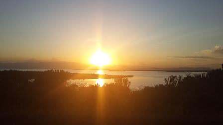
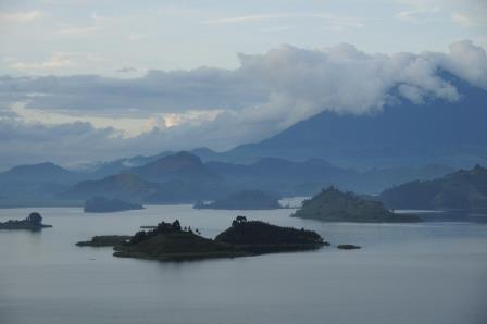
 Soon after we got our first sight of Lake Baringo and settled into a lovely lakeside campsite. For reasons unknown, the water level of the lake had risen so drastically, that the campsite ablution blocks were only accessible to the hippos and the crocodiles! While enjoying the view over the lake, we managed to get back into our bush rhythm and ended up watching both the sunset and the following morning’s sunrise.
  After chasing the
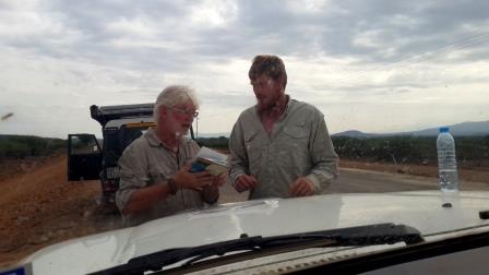 monkeys away from our breakfast we started off on the next leg of our trip. We were very happy when we found that they had tarred a section of road. We were cruising along at 80 km/h when Chris’ spider senses kicked in. We pulled over,
 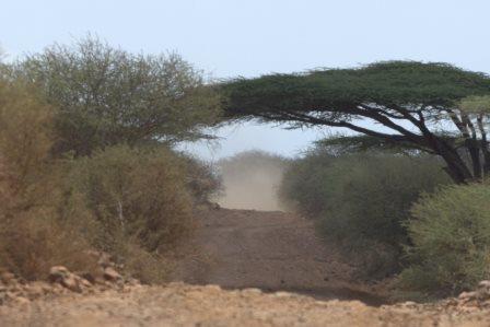 checked the GPS and the maps and sure enough, we were going in the wrong direction. This tar road was not for us. Terribly disappointed, we backtracked and discovered that the road to Maralal gave us more of the same. Dust and terrible corrugation.
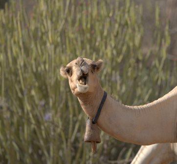
Slowly bumping along the road, we came across the first real evidence of coming close to northern Africa. Camels! Driving along the road where we would usually expect to see Zebra, there now appear Somali Ostriches and Camels. Very cool!
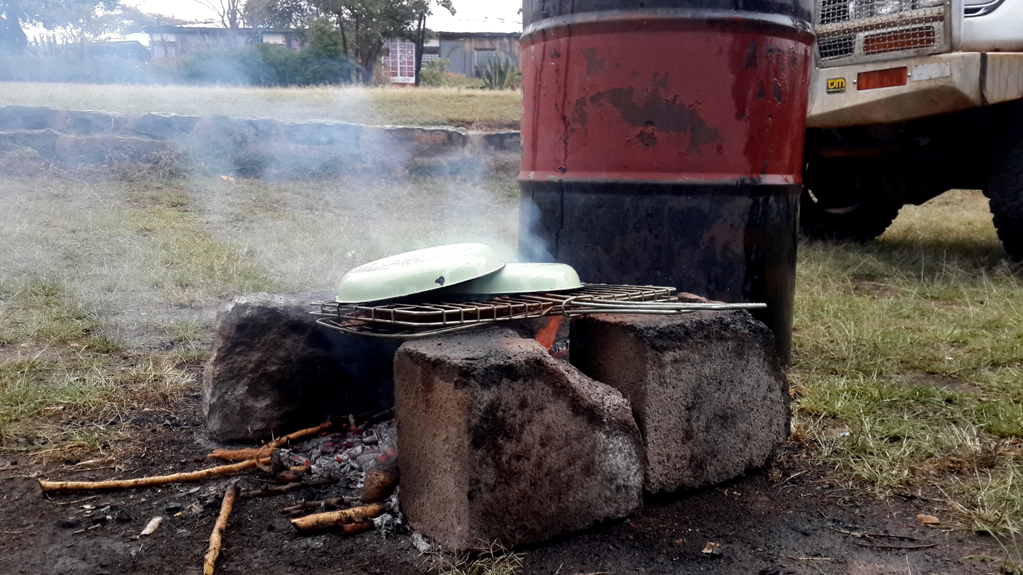
Maralal was our last reliable refueling opportunity before the remote loop of Lake 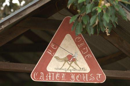 Turkana, so we made sure we got every last drop into all available tanks and containers. Filled to the brim, we camped at Yade Camel Camp, where the annual camel derby is held. We had prepared some T-Bone steaks for dinner, which turned out more interesting than expected, as a thunder shower overtook us. We found some interesting methods of preventing our very meager fire from going out and ruining our dinner!
Although we successfully rescued the steaks, they turned out to be extremely tough. Oh well!
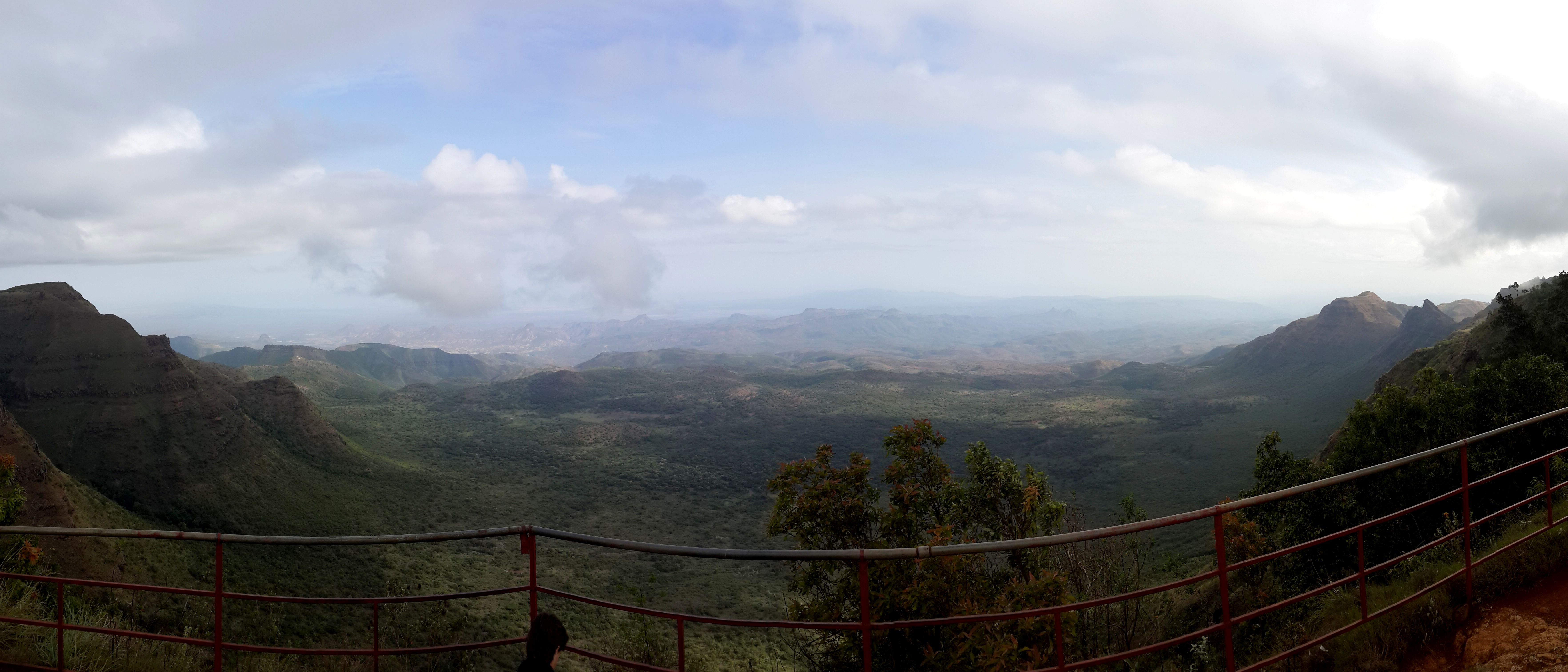
 The following morning was quite chilly and we quickly made ourselves some hot coffee before getting back onto the road. Gerrit had discovered our next stop; The End of the World. Although we had only found a single reference to this viewpoint, we were adamant to find it. After trusting in Gerrit’s GPS we drove down a lonely two track, with no signs or indications that we were heading in the right direction when we approached a rather intimidating archway in the middle of a field. Having passed through it, we really were presented with the World’s End. This is the single highest drop along the entire length of the Rift Valley. 2000 meters straight down. Wow!
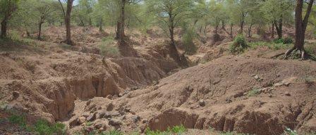
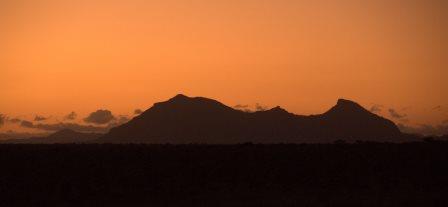
Beyond this drop the foreboding and unknown area of Lake Turkana began.
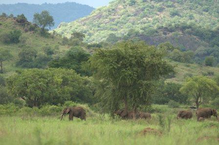
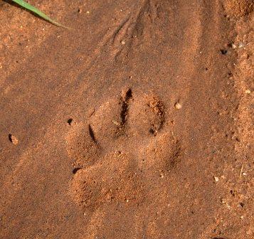 As Nga’Moru is a Wilderness Camp, all animals can roam freely between the unfenced park and the camp. At night we heard the alternate calls of hyenas and lions, paid close attention whether we could hear the elephant’s footsteps and avidly tracked whatever footprints were left in the mud the next morning.
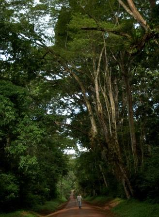
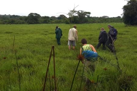
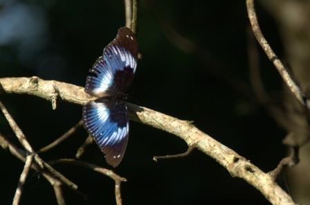 we set off down a trail into the forest, and as so often is the case, we wanted to look for birds. However, the forest is extremely dense blocking out sunlight and sound equally effectively, making it very difficult to find and identify any birds at all. We were still fascinated though,
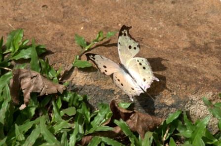 as there are 389 different species of butterfly to be found. All we did was follow one beautiful butterfly after the next, leading us ever deeper into the forest. We had to make sure to remember the right path back though, as all paths look the same in the little light that filters through the canopy.
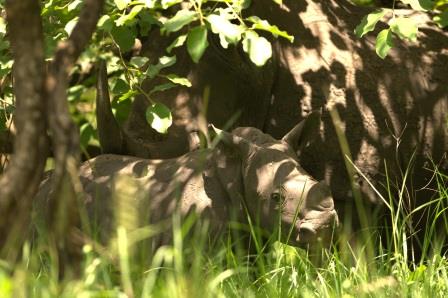 led us to the Sanctuary and we were very surprised to find ourselves going on a guided rhino tour. Admittedly, the idea of a joining a group of foreign tourists and tracking rhino was (to say the least) strange, but still we did it.
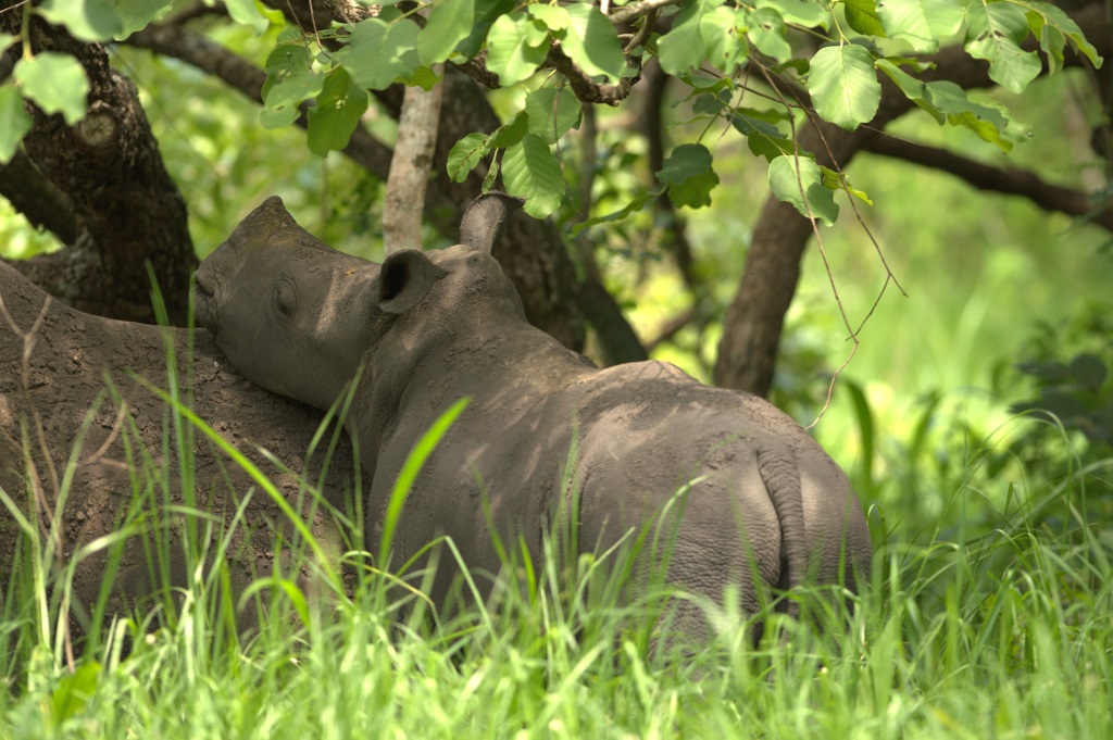
 we decided to take an afternoon cruise along the Kazinga Channel into Lake Edward. We had seen all the big game we wanted and thus asked the skipper to concentrate on the bird life on the embankments.
 We hadn’t expected much beyond a few cormorants and the usual plovers, but the boat ride proved to be spectacular and way beyond our expectations.
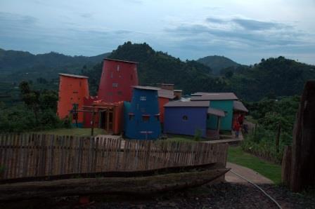
 few days was the Ishasha River Camp situated on the banks of the Ishasha River, which also forms the border to the DRC about 30 meters away. As in Bwindi, our campsite was protected by the Tourism Police and their AK47’s for the duration of our visit. A rather unnerving experience, not from a security point of view, but simply because these guards spent their entire day watching us. Whether we were reading, cooking, eating, drinking or playing cards, there was always someone watching you.
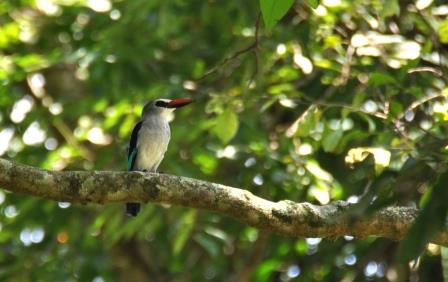
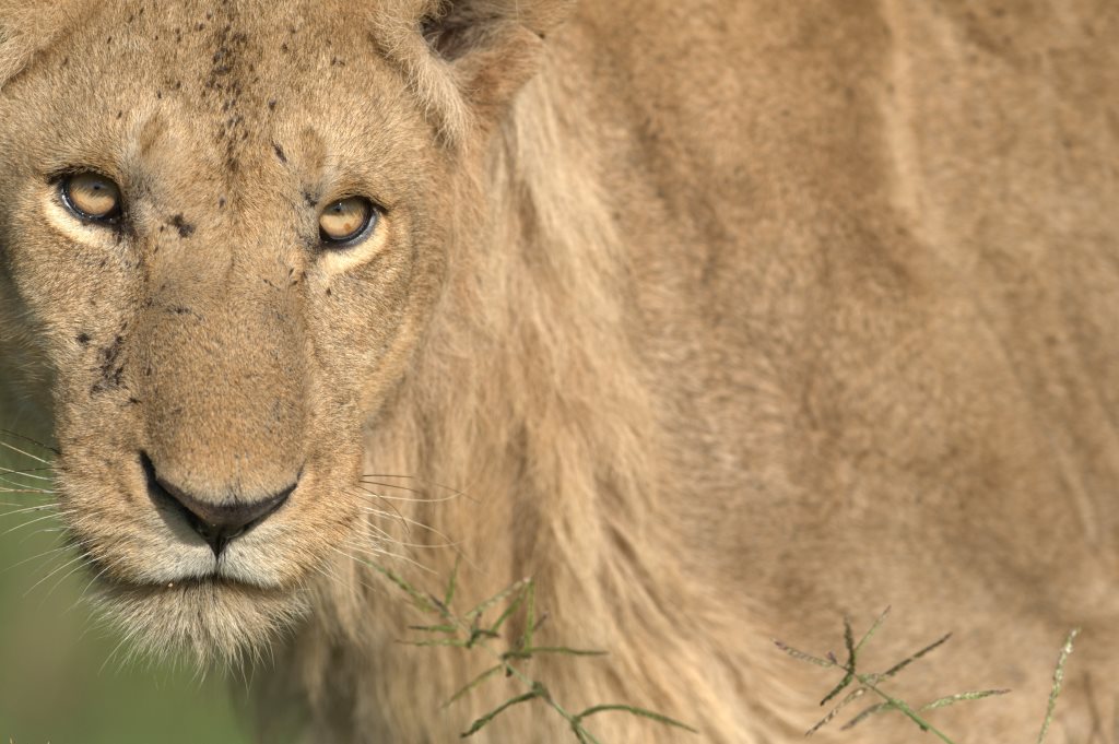
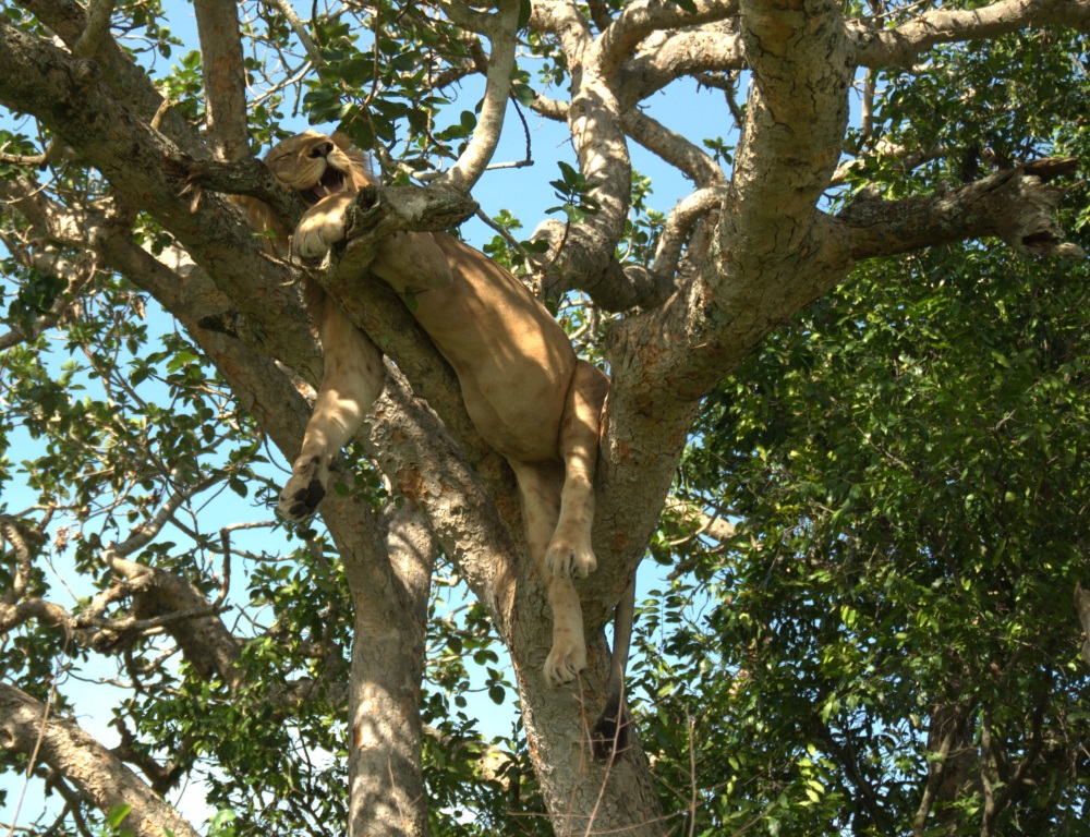
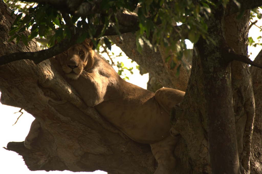
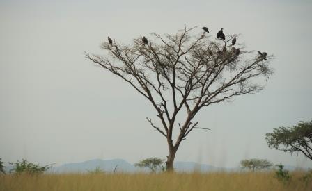 to settle in comfortably, we had our first game drive later that afternoon. We had heard quite a bit about the tree climbing abilities of the local lion population and soon decided that their preferred hang-out (sorry, I couldn’t resist :-)) should be our first stop. The guidebooks and maps had a few fig trees marked as possible locations to spot the lions in the trees, however there was no guarantee that we’d actually see them.
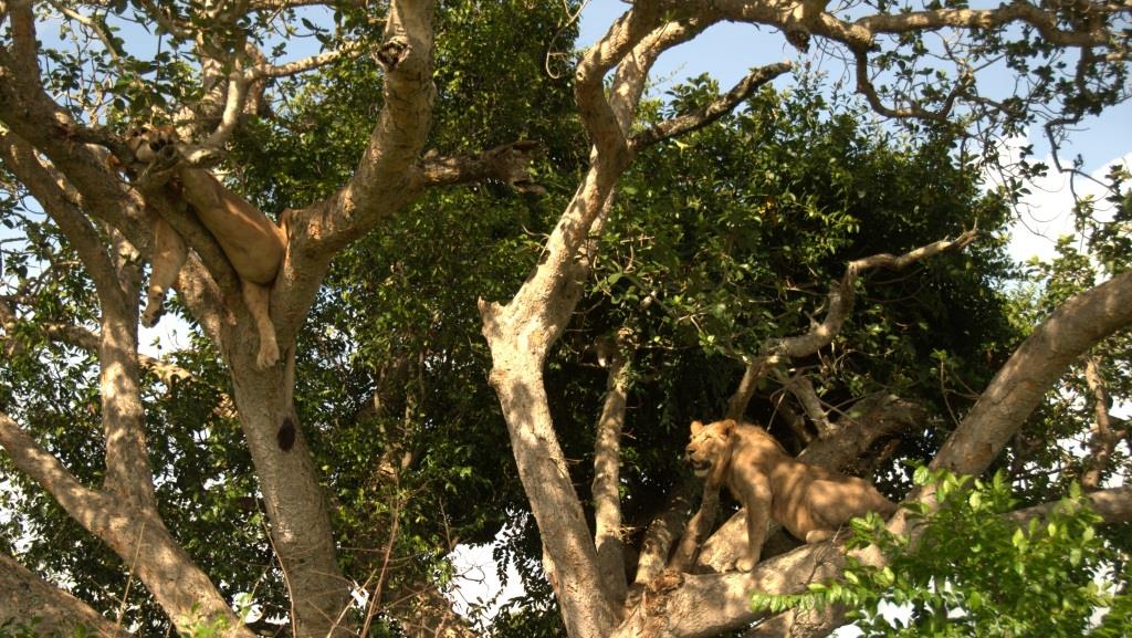
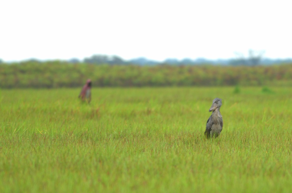
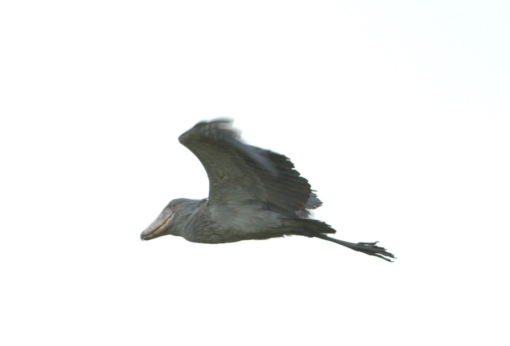
 We had heard reports that they could be sighted along this stretch of the Lake, but that the access road was pretty much impassable. Not ones to shy away from a worthy challenge, we piled ourselves into the rented Prado and finally found the access road.
 According to the map, we had only managed a small section of the road and it was only going to get worse. Scouting ahead on foot, the unanimous decision was to abandon the shoebill hunt, turn around and take a more comfortable and relaxing route back to camp and easier bird targets.
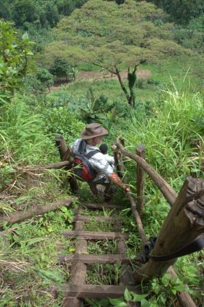
 the lodge to the gorilla tracking proved to be more complicated than we thought, as there were tracks crisscrossing our path all the way. Only through good luck and asking for directions from every person we met did we make it to the ranger station on time.
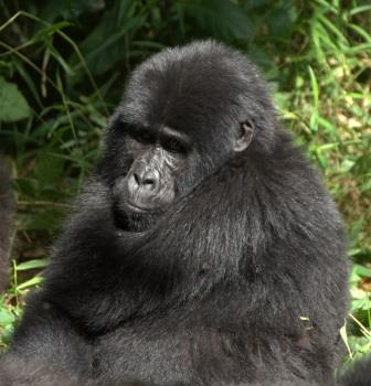
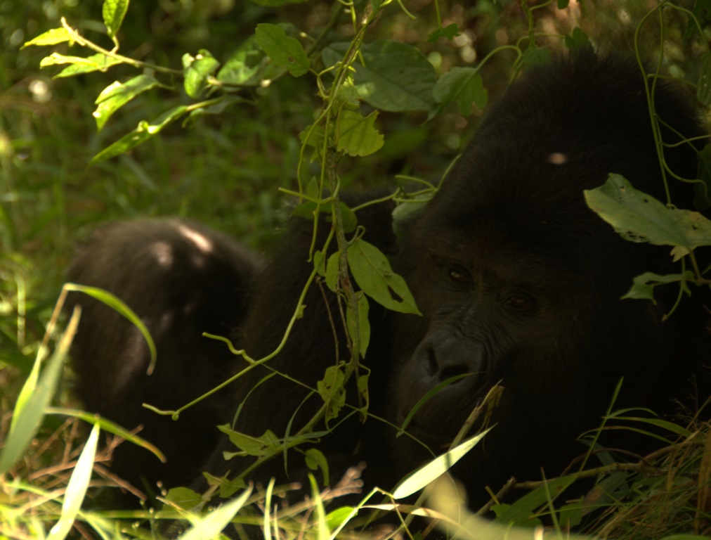
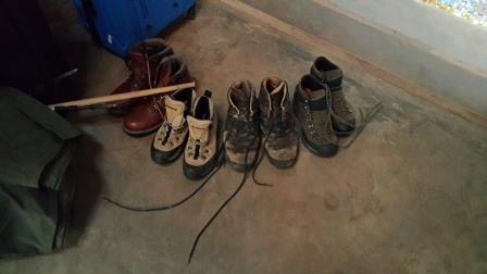
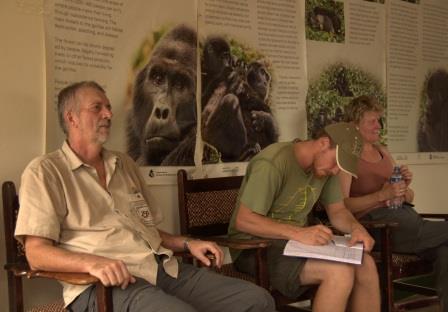 our boots, hitched our backpacks and were briefed on how to behave ourselves around the gorillas. And off we went. Our group consisted of eight tourists, two guides leading the way as well as two policemen armed with AK47s. We were assured that the armed policemen were there to ensure that we weren’t attacked by any wild animals and the fact that the DRC with its troubles was only a hop, skip and a jump away seemed to have no influence.
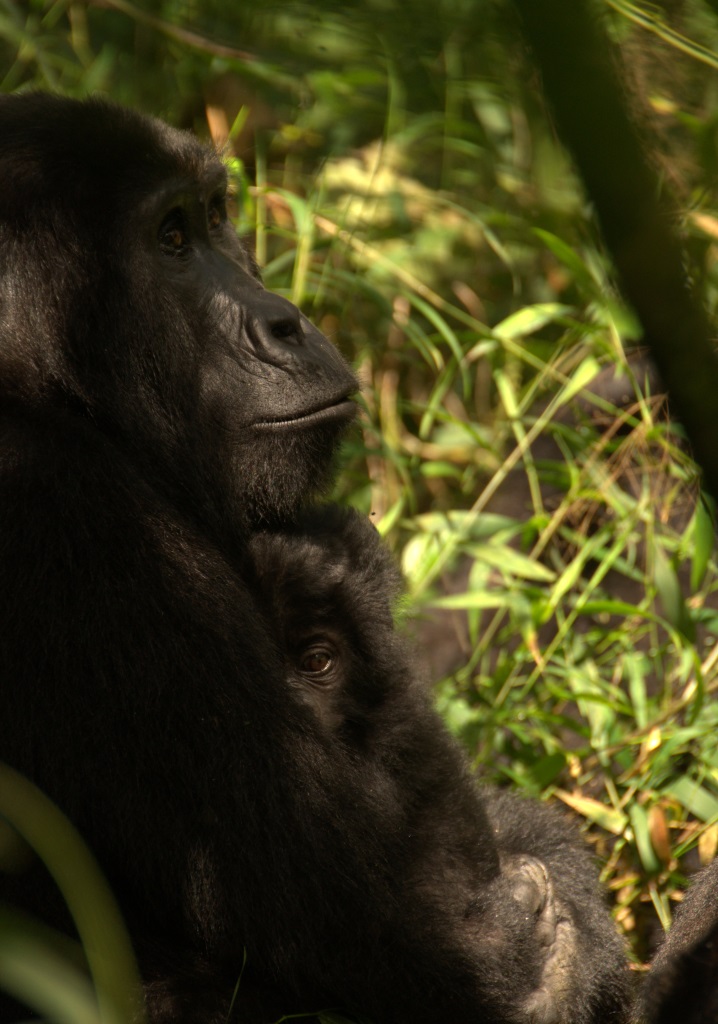
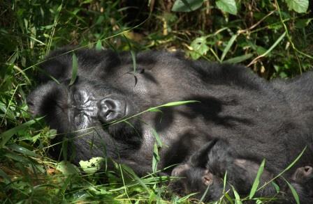 to get within three meters of them and the Silverback of the family even walked right past Chris. He could have stretched out his hand and stroked his back! We spent an hour with the family, watching the two babies being cradled by their mothers, watching the adolescents bickering and